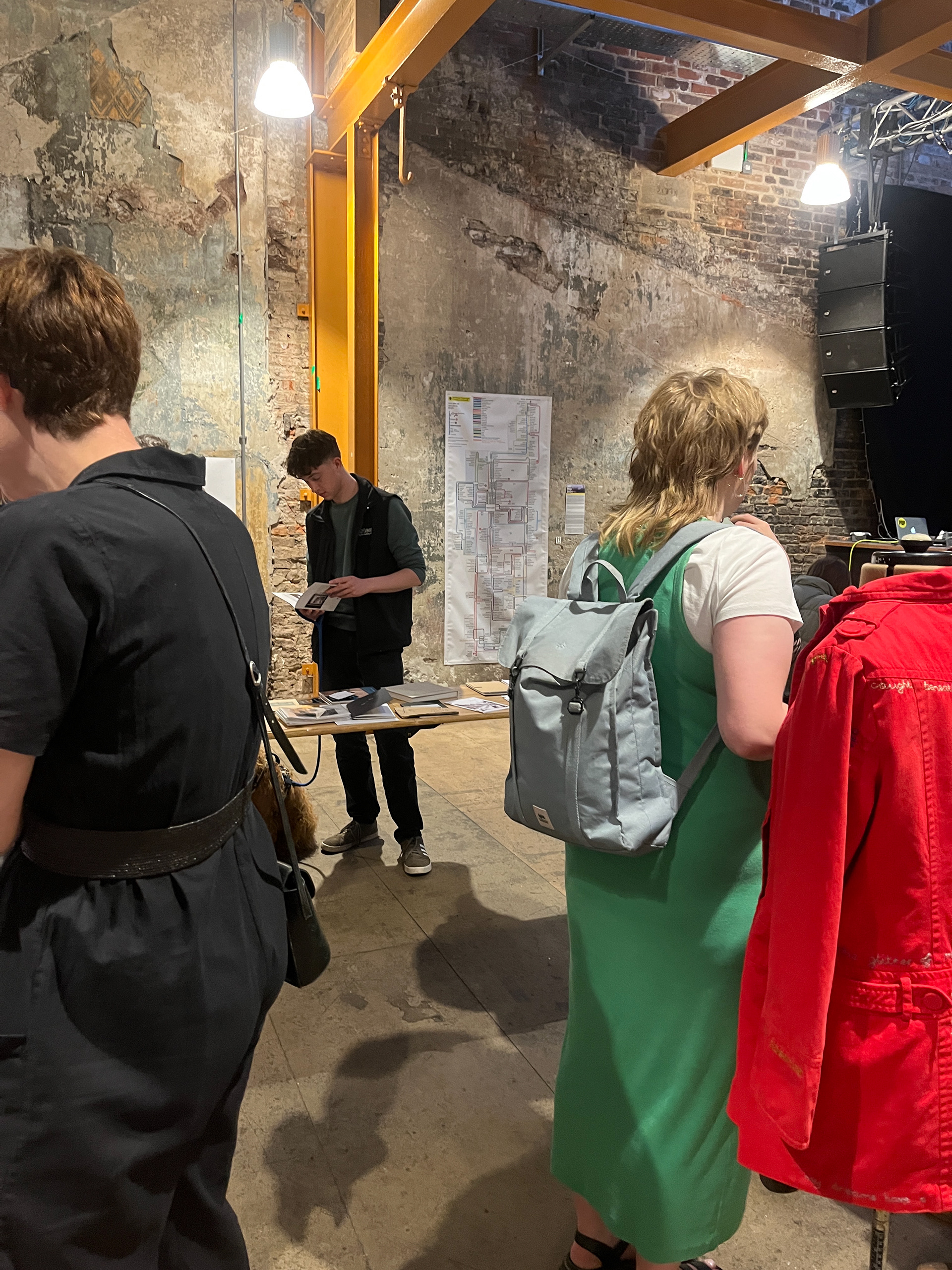
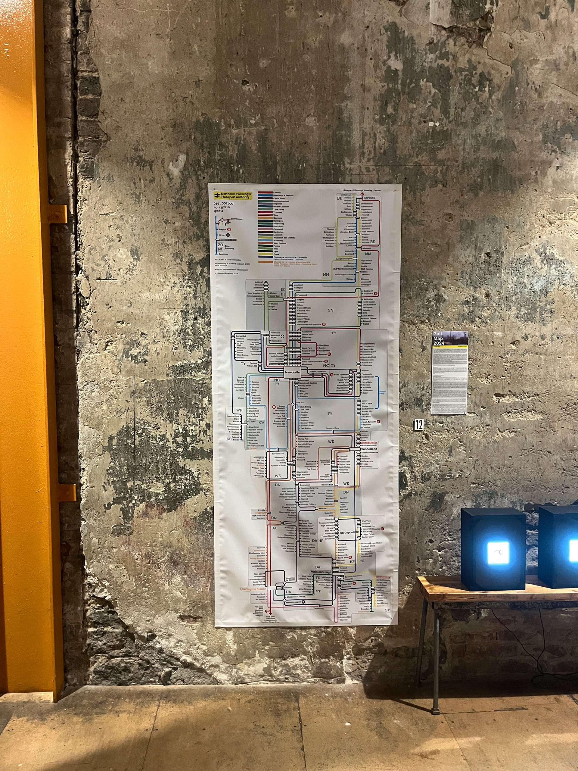
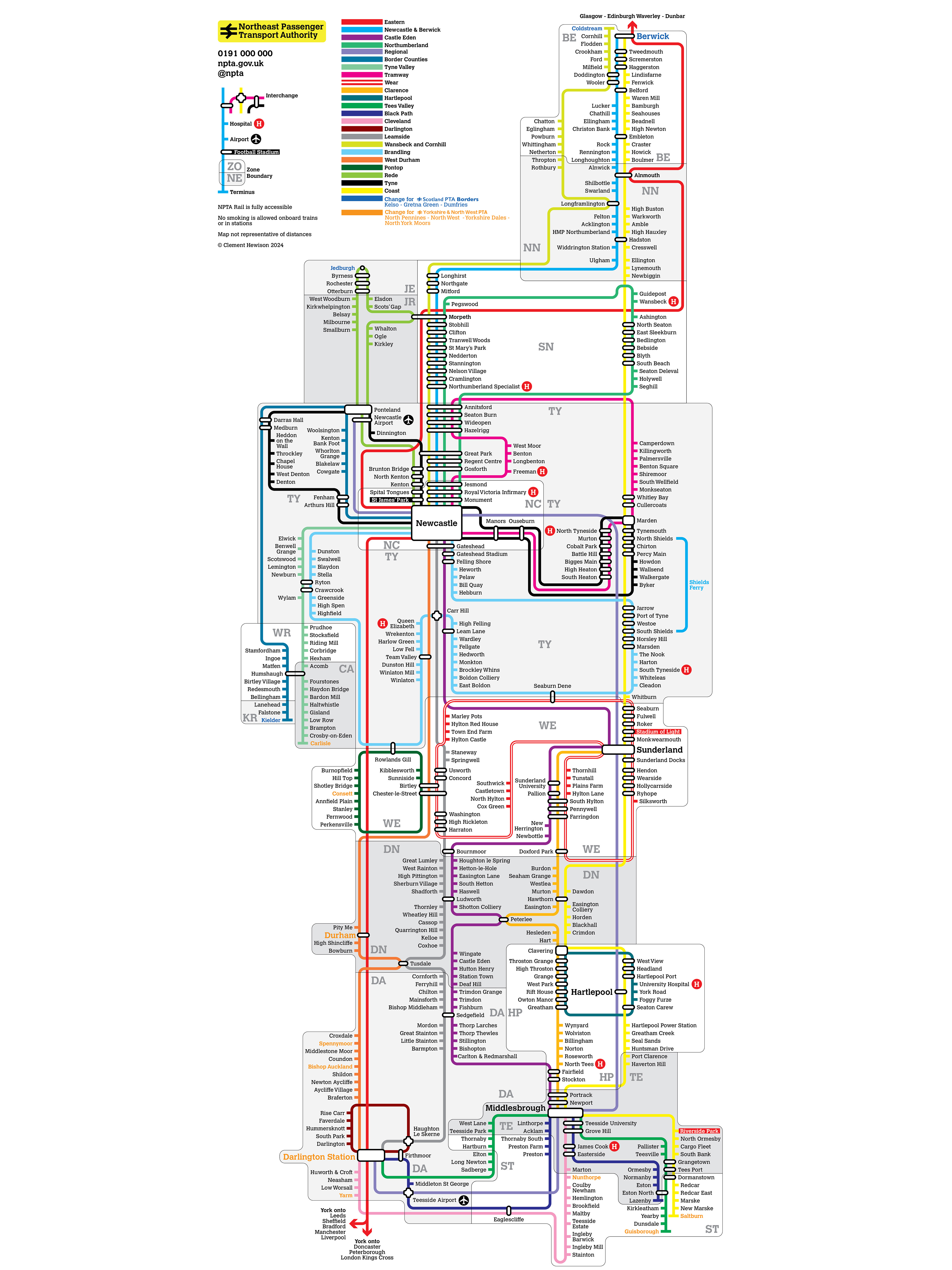
The Northeast Passenger Transport Authority network is an alternate history where the UK recognised the error of carcentricism in the late 196Os and went all in on effective human scale methods of moving large numbers of people around. A year's research and testing of different styles and software led to a a map style with a distinct abstraction of actual geography necessary to fit such a quantity of stations into such a small space; the final map is physically only 15cm wide by 38cm tall, and folds in five segments to be easily pocketable. The motivation for the project is the UK's determination that everything must fall at the altar of the car, consequences be damned, and its supposed convenience is enough to justify the harms they cause. Hopefully you'll consider that you do not live in a society of one and that if our public realm is to serve everyone then the highly individualistic way of life cars encourage is not sustainable. If it encourages you to walk or cycle or get the train, even just once, then that's a win. Your life may depend on it.
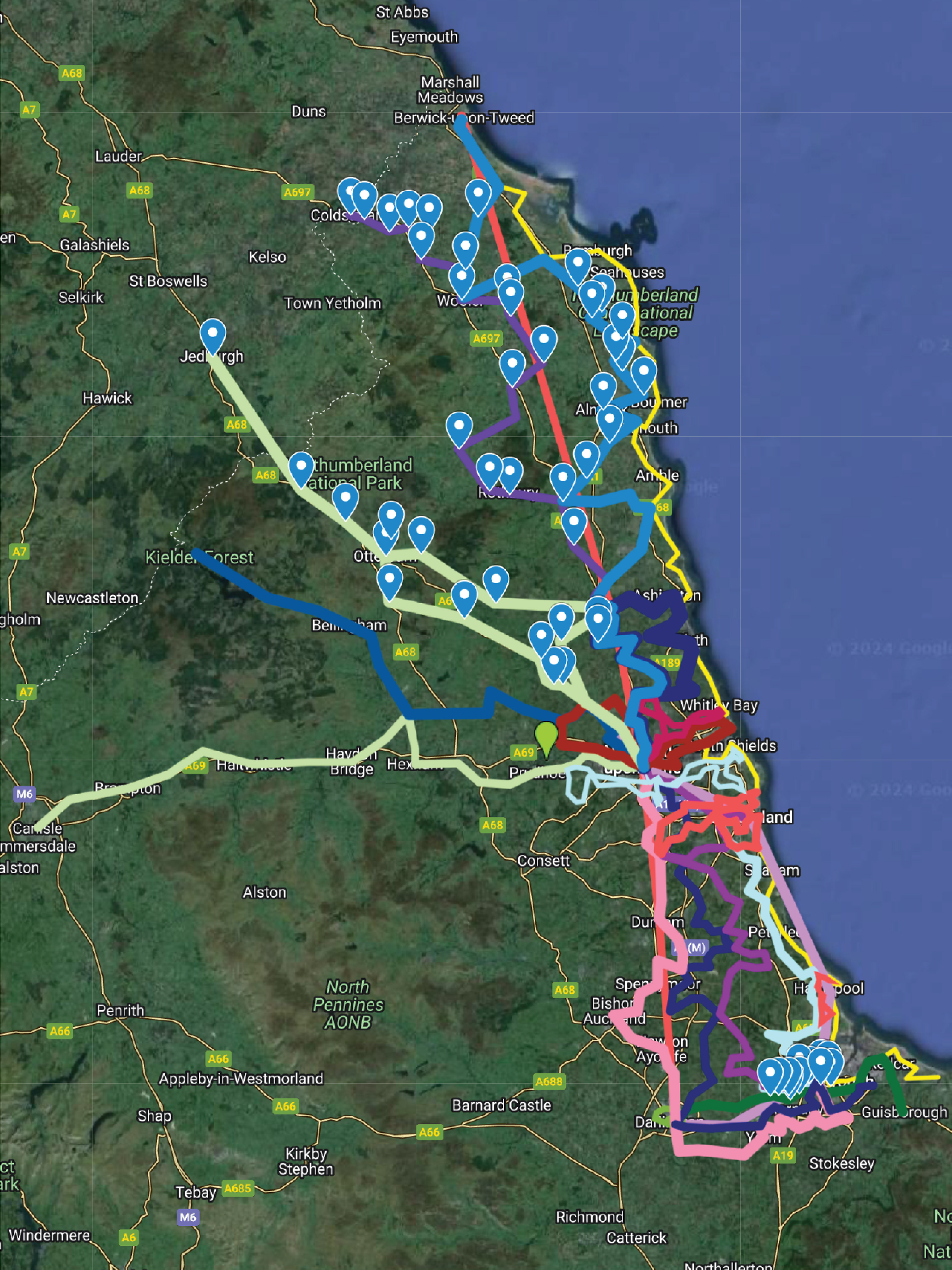
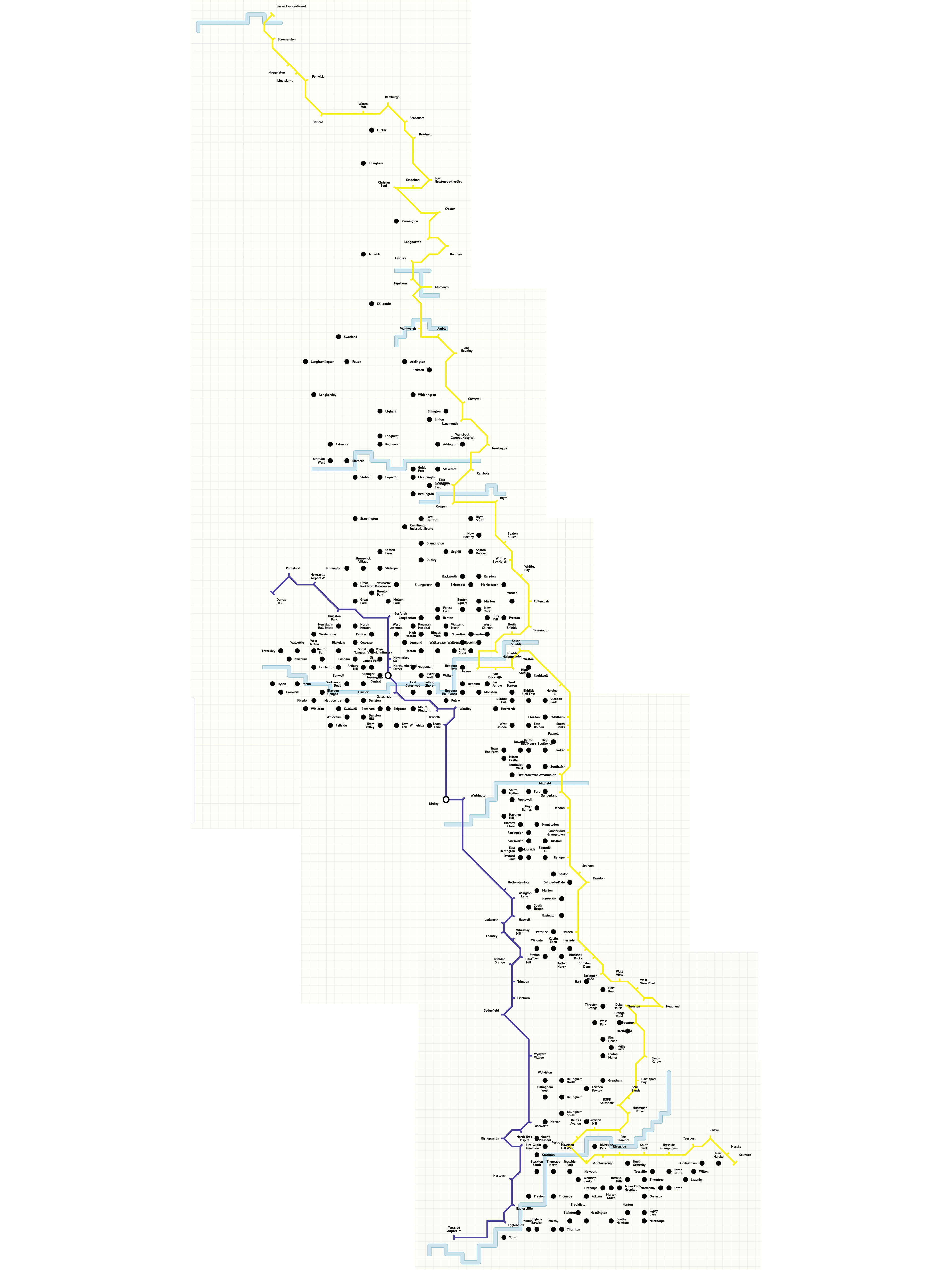
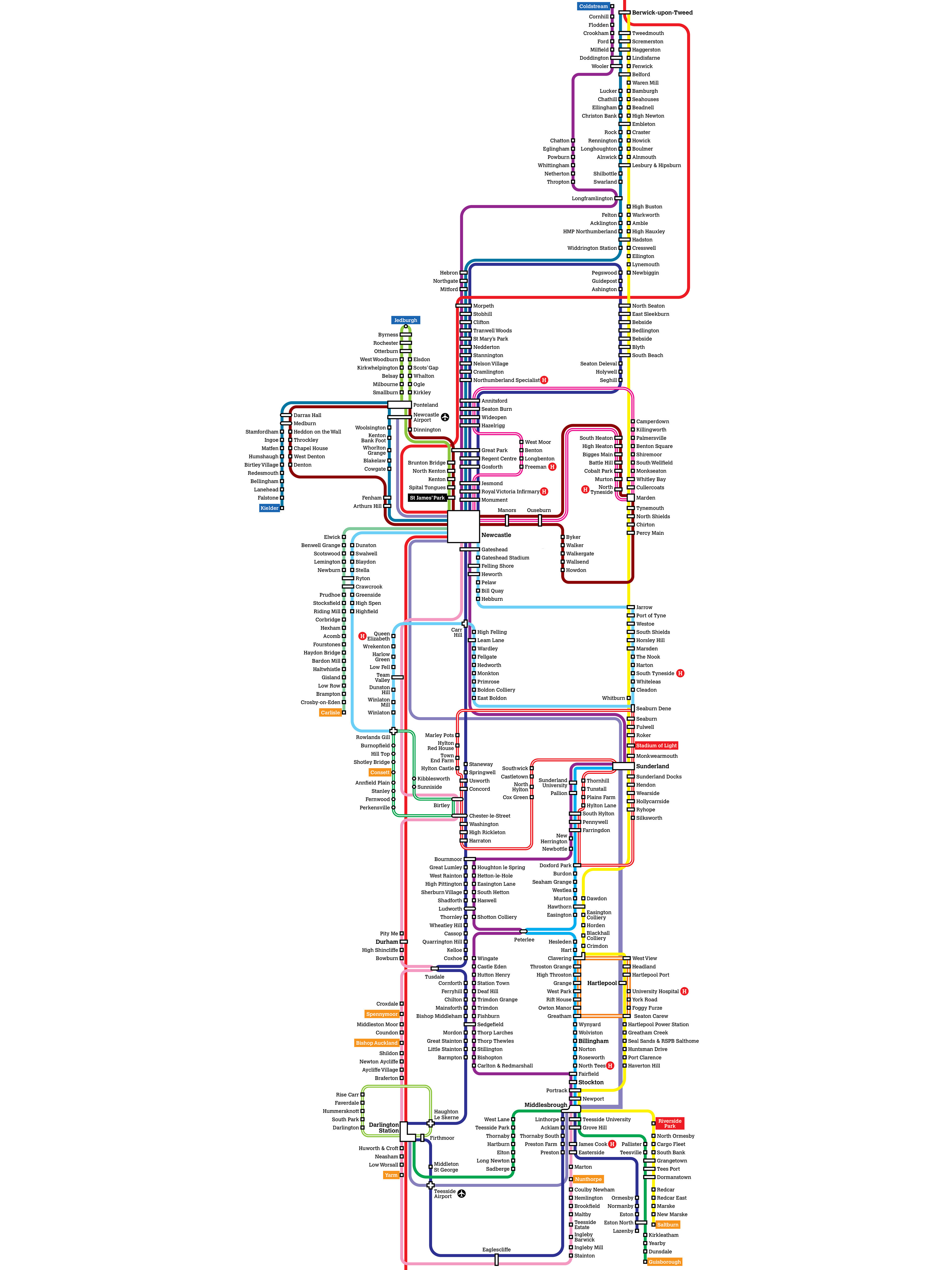
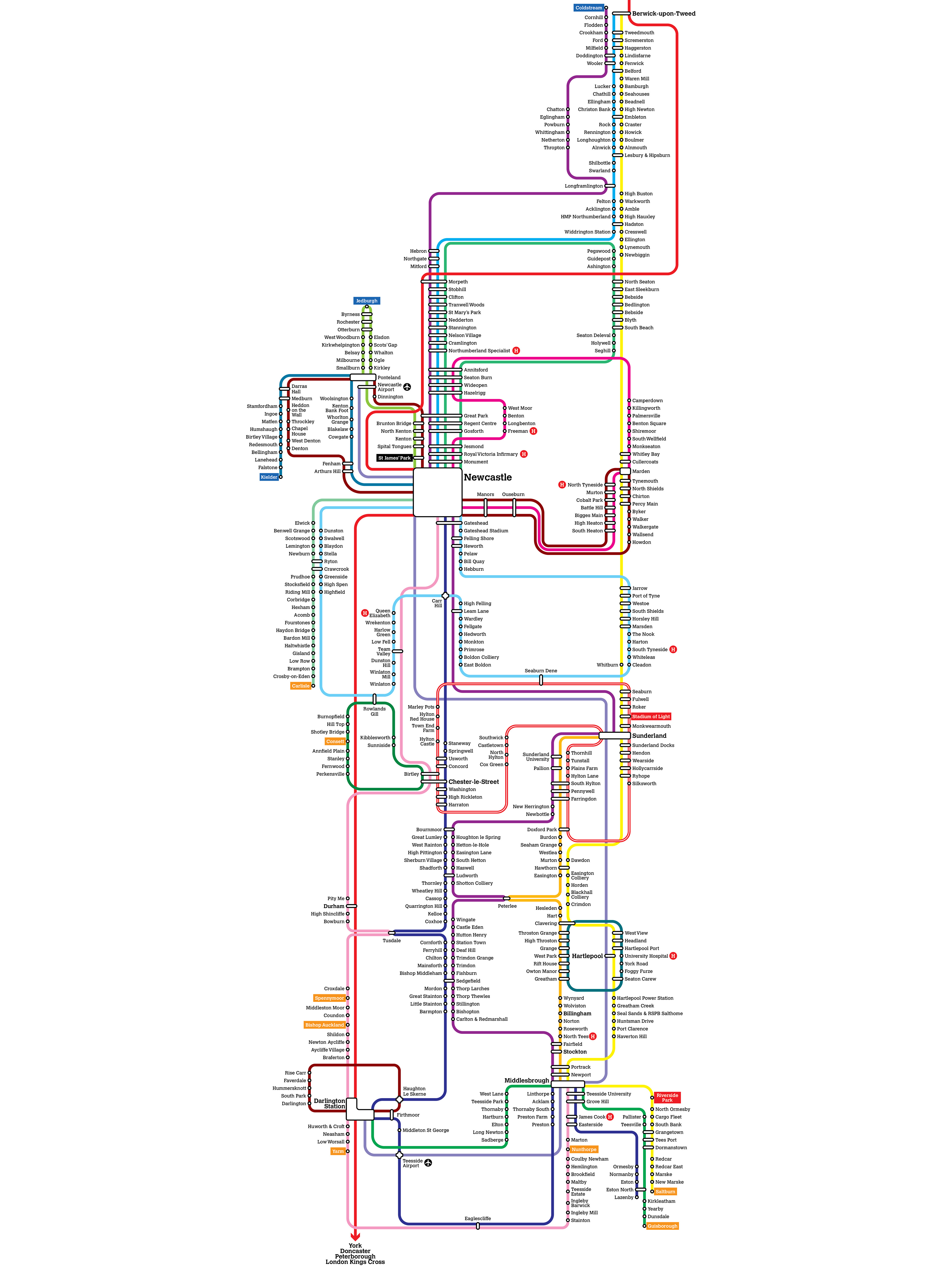
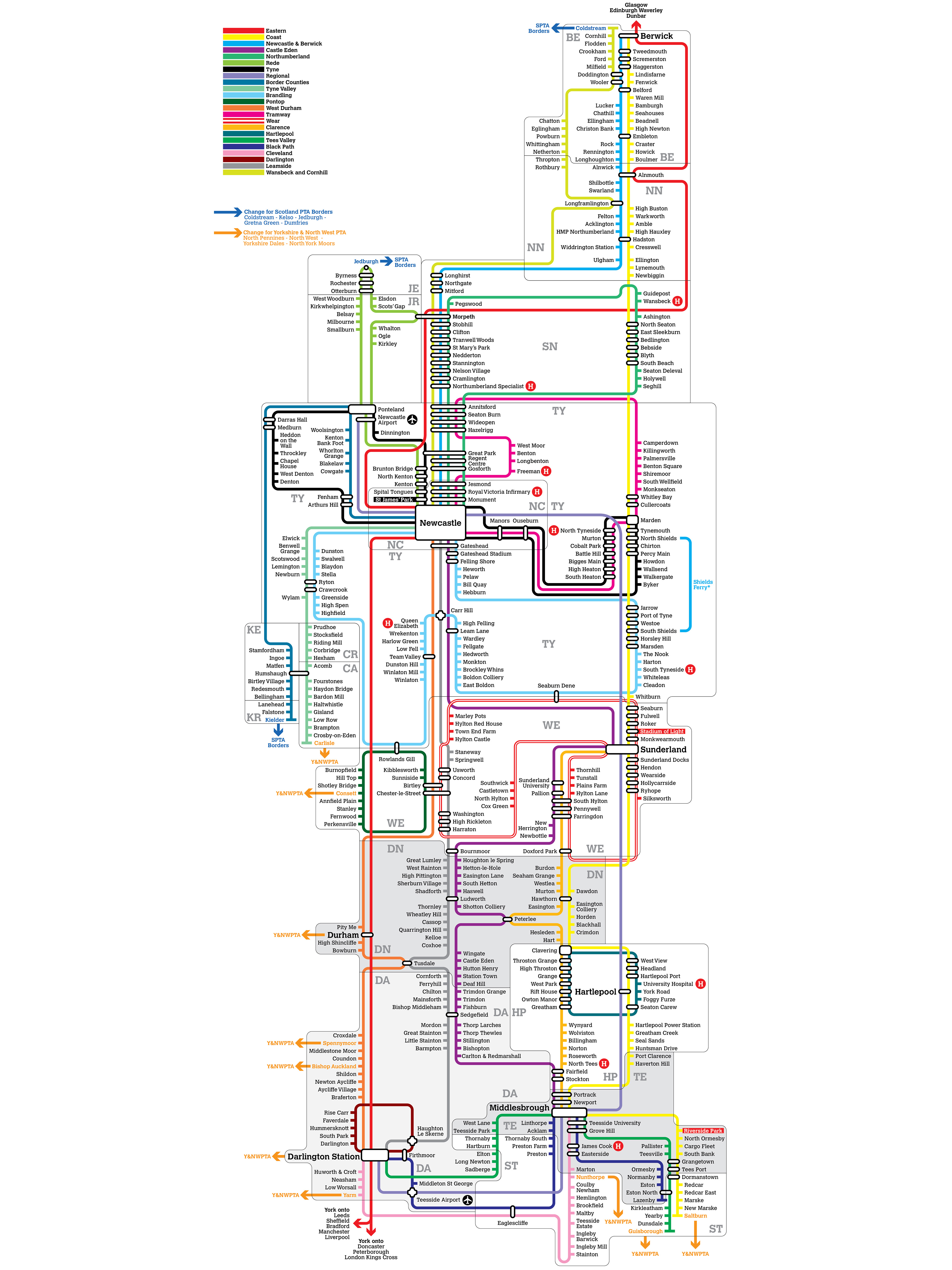
Here are some iterations I went through to get to this point:



The work was also part of JuxtaposiTION, Pop Recs, Sunderland, August 16th 2O24.
